A multi-day storm stretches from the South into the Northeast
Severe winter weather continued to grip wide swaths of the United States on Monday, January 26, 2026, after a weekend of heavy snow, freezing rain, and plunging temperatures. Weather warnings covered dozens of states as the system pushed from the southern Plains into the Mid-Atlantic and Northeast, compounding hazards with ice accumulation, drifting snow, and bitter wind chills. In the South and lower Midwest, freezing rain created some of the most damaging conditions, loading trees and power lines with ice and making roads treacherous even for emergency crews.
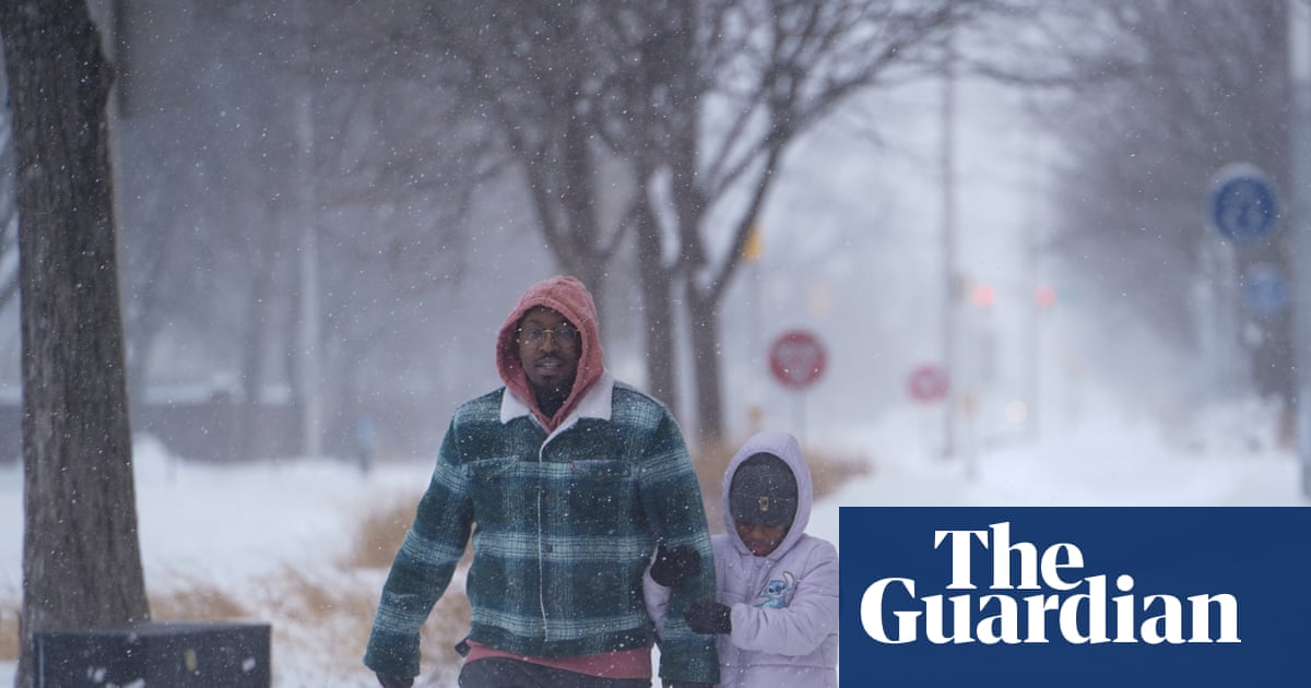
Across the country, the storm’s breadth forced communities to juggle multiple risks at once: slick highways, limited visibility, frozen equipment, and the danger of prolonged cold for anyone without reliable heat. In major cities along the I-95 corridor, snow and mixed precipitation slowed travel and complicated airport operations, while inland areas dealt with heavier icing that threatened infrastructure. Forecast updates emphasized that as the system evolved, some places would see a shift from snow to freezing rain and then back to snow, a pattern that makes roads difficult to treat and increases the risk of downed lines.
Power outages and safety concerns mount
Utilities and emergency managers reported widespread outages tied to ice and wind, with restoration efforts slowed by hazardous conditions. The storm’s most disruptive effects were not limited to snowfall totals: ice glazing on branches and cables triggered cascades of outages across multiple states, and the deep freeze raised concerns about pipes, heating systems, and the ability of vulnerable residents to stay warm. Officials urged residents to avoid unnecessary travel, to check on neighbors, and to use generators safely—especially to prevent carbon monoxide poisoning indoors.
Some states faced the additional challenge of long-duration cold following the initial wave of precipitation. Even when snow bands moved on, lingering sub-freezing air risked refreezing and black ice, especially on bridges, overpasses, and untreated secondary roads. Emergency alerts highlighted that outages could last longer in areas where ice damage was extensive, and that the combination of wind and cold could make outdoor exposure dangerous within minutes.
Travel disruption cascades across roads, airports, and schools
The storm produced widespread transportation disruptions, including significant flight delays and cancellations and slower, sometimes impassable road conditions in iced-over regions. Airlines and airports adjusted schedules as snowfall and de-icing constraints piled up, while highway agencies warned motorists that even short trips could become risky if visibility deteriorated or vehicles encountered untreated ice. Some school districts and employers shifted to remote operations, while local governments opened warming centers in communities facing prolonged outages and extreme cold.
Meteorologists also warned about unusual hazards created by the rapid deep freeze. In areas with intense cold following moisture and ice loading, reports circulated of trees cracking loudly as sap and water expanded inside trunks. While the phenomenon is not new, forecasters emphasized it as another sign of the intensity of the cold and as a reminder to avoid standing near heavily iced trees that might fail without warning.
What to watch next
Forecasters said the most important short-term questions were how quickly temperatures would rise in the South to ease ice impacts, and whether the Northeast would see additional bands of heavy snow before the system exited. Even after precipitation ends, officials warned that recovery will hinge on restoring power safely, clearing secondary roads, and supporting residents who may be without heat. Emergency officials reiterated basic cold-weather guidance: keep mobile devices charged when possible, conserve heat, treat travel as a last resort, and follow local advisories as conditions shift hour by hour.